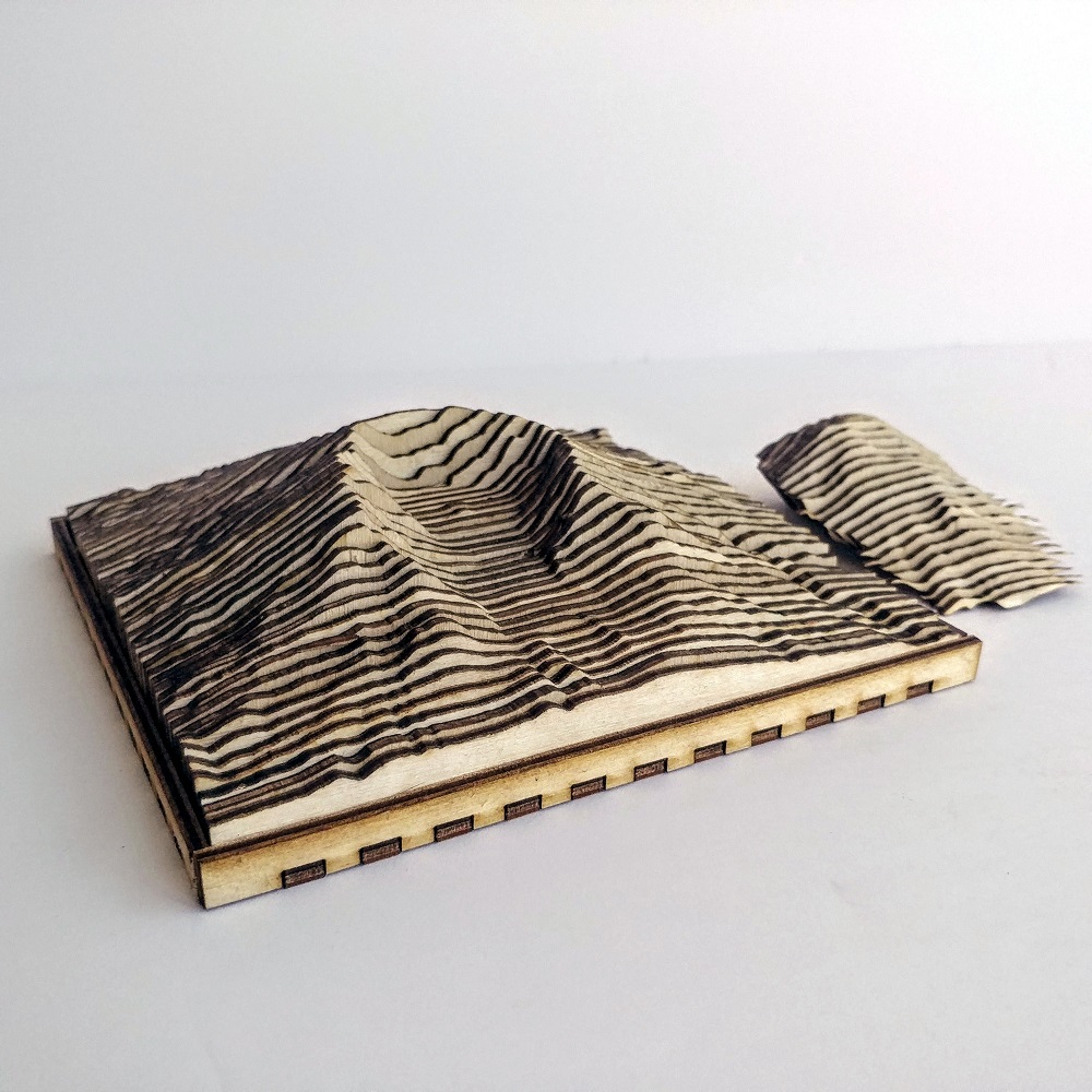
This model of Mount St. Helens includes a section for each layer of where the mountain was before the 1980 eruption. This allows for the creation of a cutaway that shows the before and after. This model has no vertical exaggeration.
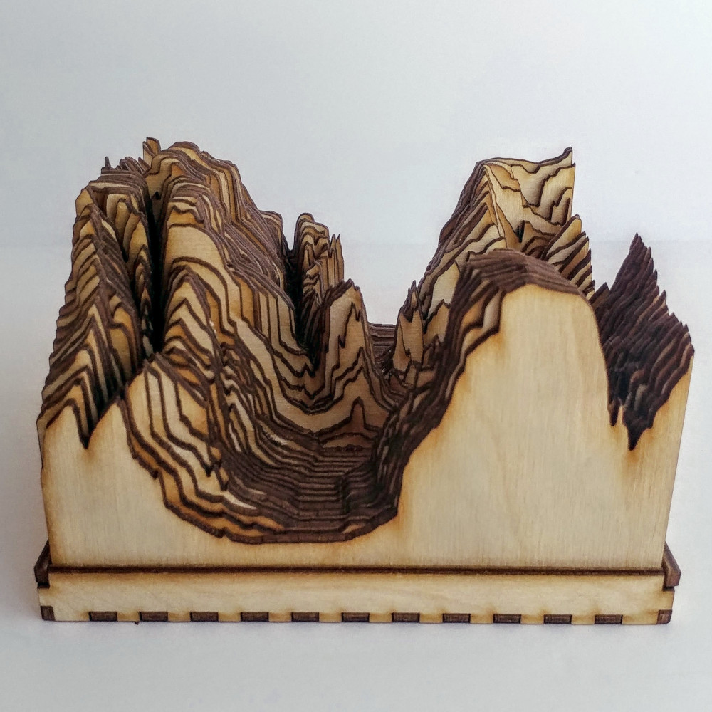
This model of Angel's landing in Zion National Park is amazing. The incredibly steep walls of Zion Canyon really stand out. There is absolutely no need for vertical exaggeration with a place like this. Notice how tall the model is!
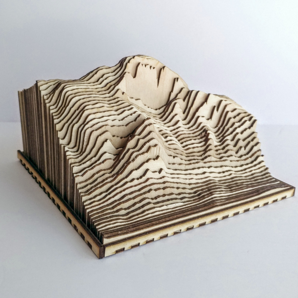
This model of Half Dome pictured here was the first RidgeMap created. Showing the grandeur of Half Dome, this medium sized RidgeMap has some real heft. This model has no vertical exaggeration.
In this model, I experimented with having the first and last layer also serve as part of the tray. I don't think this concept will stick, but the general layout of this RidgeMap still looks great. This model has no vertical exaggeration.
